In 2006, author and native New Yorker Robert Sullivan embarked on a road trip to explore how the way we move around impacts the places we live.
As a part of our 25th-anniversary celebration, we’re republishing formative magazine stories from before our website launched. This story previously appeared in Dwell’s September 2006 issue.
What does the interstate have to do with your house or apartment and the food in your fridge? What does the widened state highway down the block have to do with the shape of your town or city? What does the automobile have to do with where kids hang out on the weekend? Why are bus routes a reflection of the quality of social justice? It is these and other questions I have been thinking about while traveling the country for the past few months, checking out cities and towns and seeing how people get around. And I don’t want to get ahead of myself, but you should know right off that even though the word “transportation” might make your head fall toward to the pillow or make you roll your tired-from-commuting eyes, there’s nothing that could be more elemental to the state of your community (or to the lack thereof). The roads—and the routes and the paths, the trails and the rights-of-way—take us away and they bring us home. They make us who we are and they make the places where we live.
So on this, my very first excursion, I am off into the past, kind of—to think about where we have been, as corny as it sounds. And then to come back, to return home, in this case to the city, in my case New York. In the morning, I climb into the family station wagon, and in a time-machine kind of way, I set out into the east, to New England’s (and America’s) oldest highways. For help in road explication, my destination on this roads-for-roads’-sake day is a little town in Connecticut—Guilford, the home of Dolores Hayden, a professor of architecture and American studies at Yale, and the author of such books as Redesigning the American Dream and Building Suburbia. She is a kind of naturalist of modern road-inspired building, especially with her latest book, A Field Guide to Sprawl. “Words such as city, suburb, and countryside no longer capture the reality of real estate development in the United States,” she writes. Thus, she has given us a list of new ones: logo building, sitcom suburb, zoomburb.

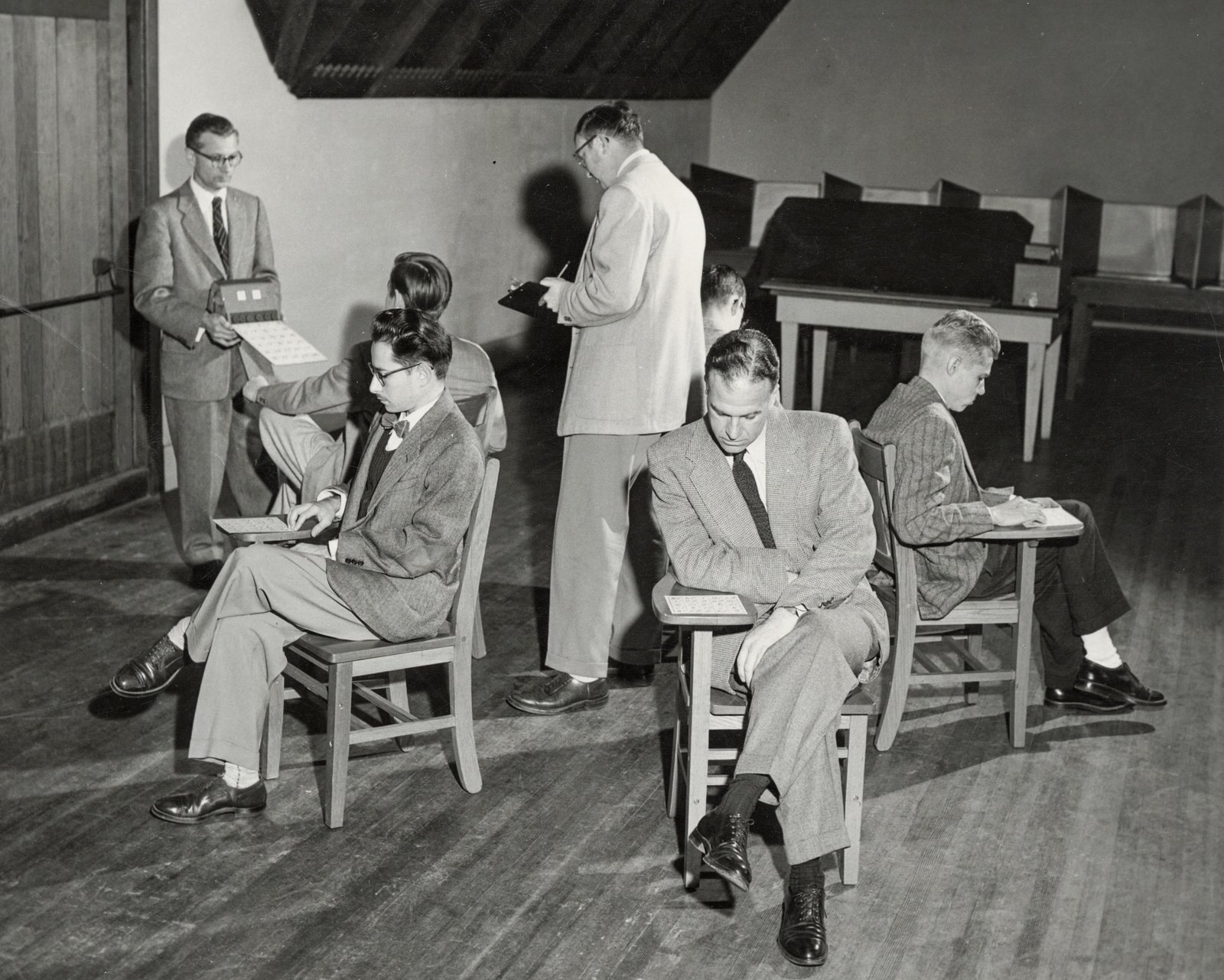
Photo: Matthew Monteith
As I set out—in a very tame Kerouacian kind of way—to meet this New England-based diviner of meaning in the interstate existence, I am on a side street in New York City, a street run with row houses, delis, little stores, and restaurants, a street laid out for streetcars and horses, and taken over by the auto. Then on Atlantic Avenue, I touch the border of Brooklyn Heights, the first commuter development in New York City, an 1820s precursor of the suburb—and then in a few blocks I head onto an interstate highway, 1-278, a.k.a. the Brooklyn-Queens Expressway, a.k.a. the BQE. My soundtrack is the news radio station, blaring the traffic report that is the traffic report of all America, the car unifying us as rush-hour beings: “jammed…backed up…starting to move…bumper to bumper.” I drive north, toward the Bronx, to the beginning of what in the mind of many road historians is the first modern roadway, the road that led to the interstate—the Bronx River Parkway.
The Bronx River: How not-at-all bucolic it must sound to the non-New Yorkers of America today, mostly because of the word “Bronx,” a word that is derived from the name Bronck, as in Jonas Bronck, who arrived in the 17th century, and which for many years has been a synonym for urban decay and blight, in many ways because of the interstate highway system. Rest assured that when the Bronx River Parkway was begun, in 1907, it was a bucolic experience, a kind of fancy hike without any hiking. The parkway—like the parkways that would subsequently be built all around the Eastern Seaboard and then in the west—was exactly that: a way through a park, a trip along the banks of the Bronx River, an outing.

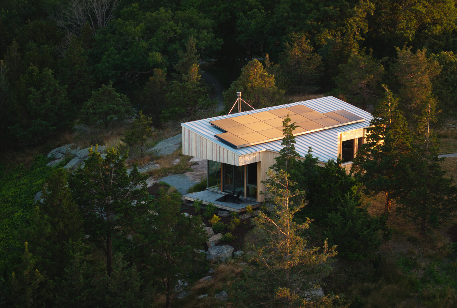
Photo: Matthew Monteith
The parkway still feels bucolic, if small for a modern car. After a few minutes, I pull off to cut through a suburb, the likes of which are all over the outskirts of cities in America: see Lakewood near Cleveland, or Newton in Boston, the older suburbs that set up along the first train lines out of an old downtown. The Hutchinson Parkway, the next place I am not stopping, was built wider than the Bronx River Parkway, since roads began to kill thousands of people in the 1930s. It is almost a freeway, for the ’30s were also the time of the first freeways, as in free to not stop. The “free” replaced the “park” in terminology and in fact.
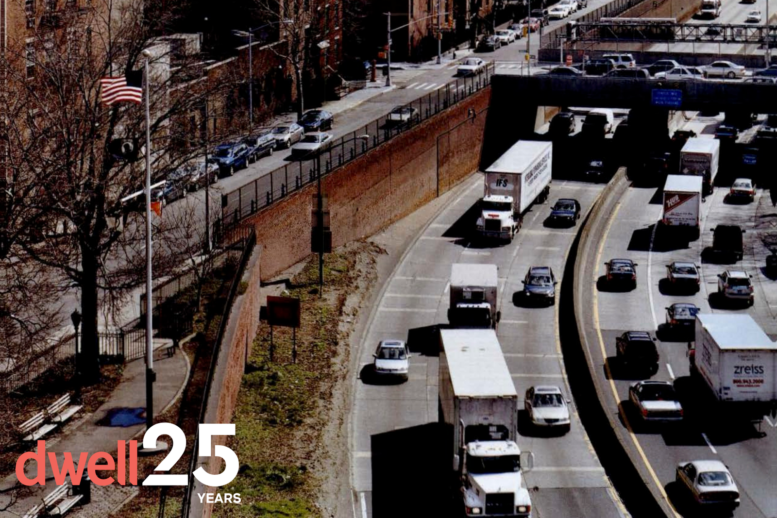
As I cross the border into Connecticut, the Hutchinson becomes the Merritt Parkway. The Merritt was built partly to relieve the traffic on Route I, the old road from Boston to Philadelphia—the oldest road, actually, officially so designated in 1673, when the main mode of travel, aside from foot, was horse. But the Merritt was also built to encourage real estate development: When the area’s property values were faltering, developers believed highways were the answer to their prayers. I stop at a little stone house rest stop befitting a highway that is a National Register of Historic Places; buy coffee from Africa via Vermont; cruise north for a few miles along the Merritt—the banked curves! the beautiful trees! the joy of cruising! the intoxicating and addictive rush!—and then cut through Westport, Connecticut, the sometime-home of Martha Stewart, to reach I-95. I-95 is so not Martha Stewart. I-95 is the longest north-to-south interstate—1,927 miles long, passing from Maine to Florida—and one of the most heavily traveled roads in America. Its rest stops, fast-food places with bathrooms larger than those in most public schools, are the loneliest places in the world.
“Well, I don’t know how you felt driving up I-95,” says Dolores Hayden, just after she pulls up to the Guilford Green, “but I often feel just so dreadfully sad.” She is happy-seeming now, setting out on the green. But then the green is a jewel, a mood-lifting eight-acre plot of public lawn that dates from the town’s founding in 1639. The first Guilfordians, a group of Puritans from England, grazed cattle communally and lived in thatched roofed houses along the green, a nearly medieval America. Today, to live in Guilford is mostly to commute.
But the green, crisscrossed with paths and dotted with monuments, still works, Hayden points out. High school graduations are held on the green, and in the fall there is an agricultural fair and a parade of farmers and trades, an actual medieval remnant. “That’s what makes the green seem very important in people’s lives,” she says. “In other towns they’d take a piece to widen an intersection. They’d take a piece to do something else. Here they don’t.” In the very center of the green, you can look past Ben Franklin’s Post Road, past houses from nearly every decade and a strip mall that was added in the ’90s, and you can see the concrete overpass of the interstate, with traffic racing by obliviously. “Sometimes when the wind is just right you can hear it,” Hayden says of I-95, and she sets off on a little walk, a mile or so long, to see what roads have done and are still doing. It’s a walk to where you can’t walk anymore.

Photo: Matthew Monteith
See the full story on Dwell.com: From the Archive: How the Interstate Shaped the Tri-State Area